
CART STATUS: Awaiting Adventure Gear.
4/19/24 CURRENT LEAD TIME: ROBIC PACKS 1-3 DAYS | CUSTOM PACKS 2 weeks, ULTRA Packs 2-3 weeks
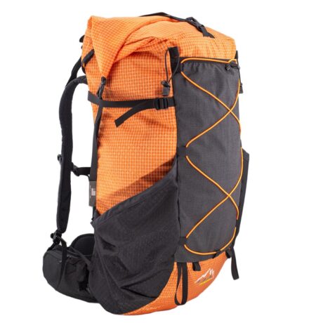
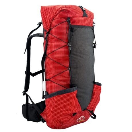
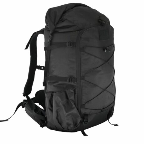
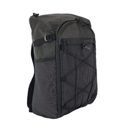
NEW! 2024 BACKPACKS
SHOP ALL
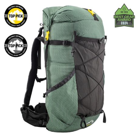
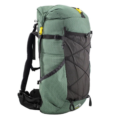
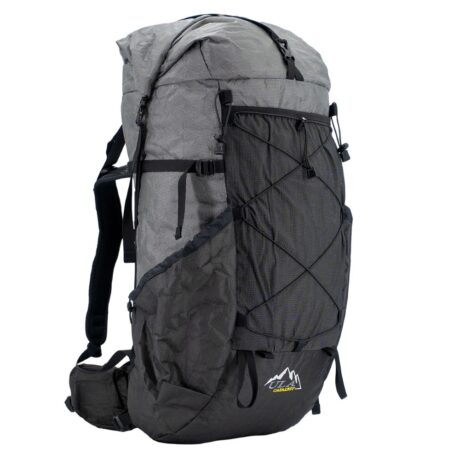
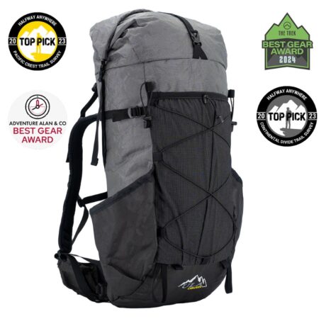
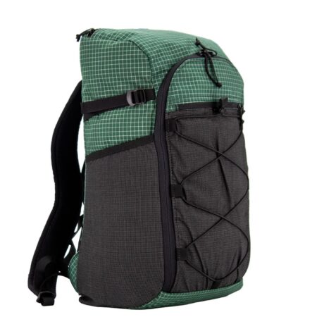
NEW! 2024 ULTRA BACKPACKS
SHOP ALL


DAY + TRAVEL
SHOP ALL


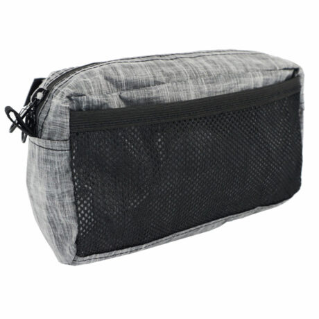
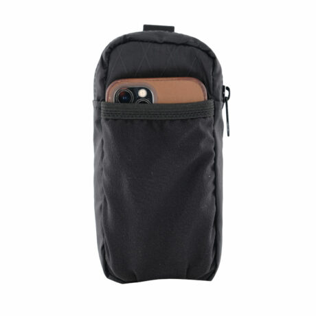
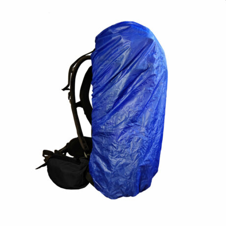
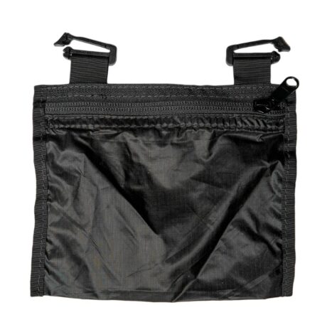
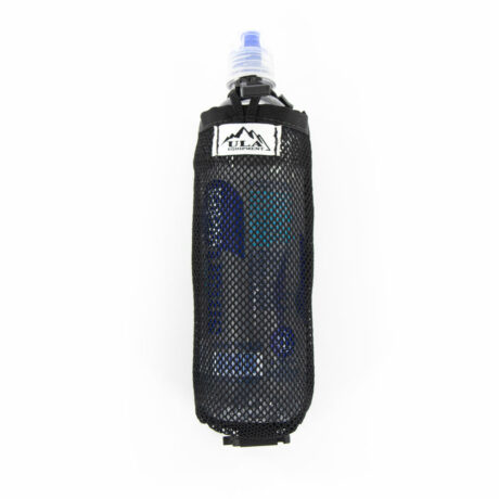
ACCESSORIES
SHOP ALL
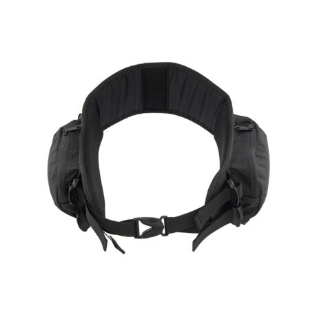
PACK PARTS
SHOP ALL

