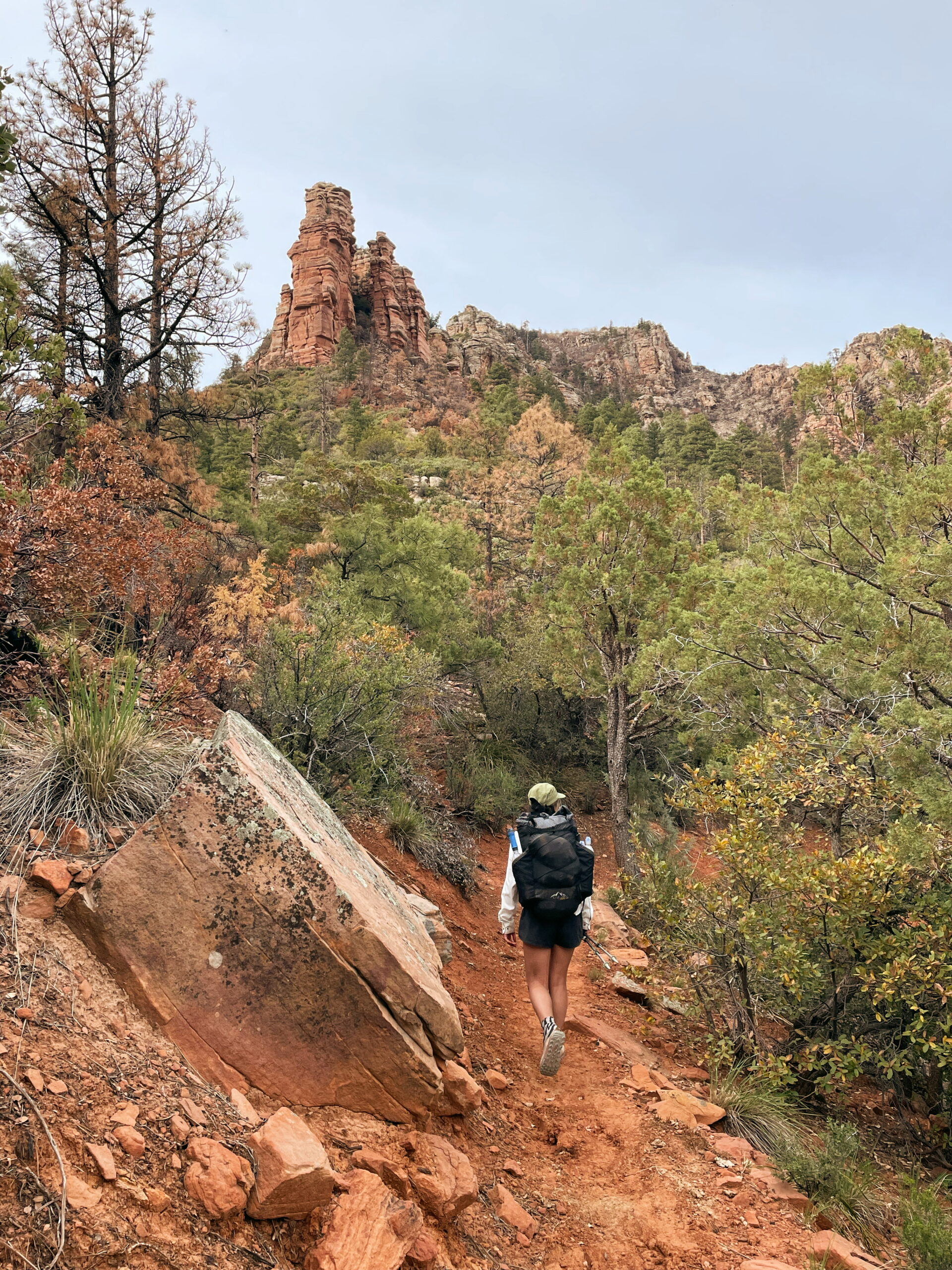
HIking the Arizona Trail with Mallory “Baja” Jackson
The following is a how-to guide for thru-hiking the Arizona Trail by our good bud Mallory “Baja” Jackson. All words and photos by Mallory unless otherwise noted.
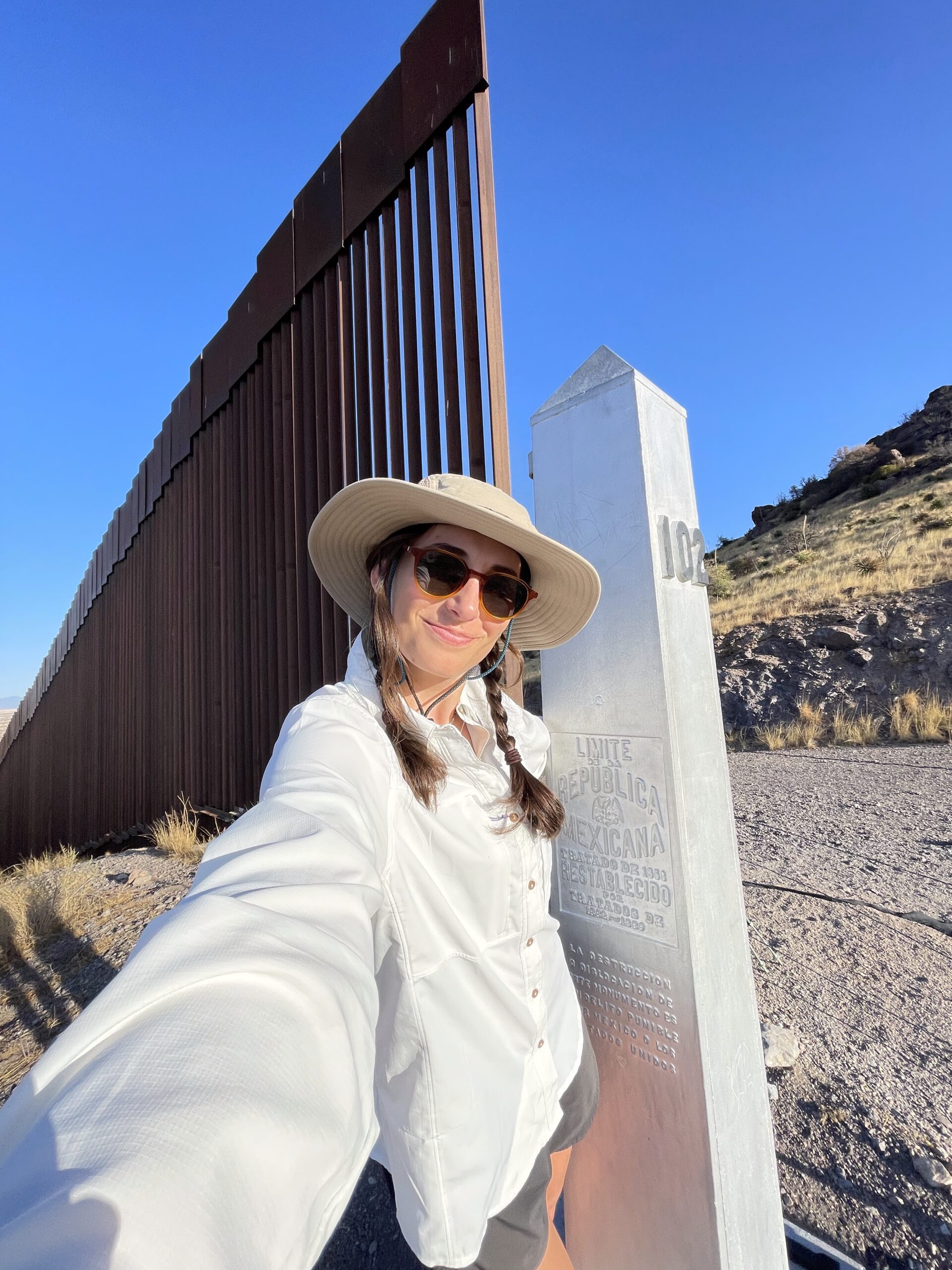
Gabrielle stuck her hand out her window and yelled “goodbye” as she drove off. I stood there with a heavy pack, loaded with four liters of water and three days of food. My hitch was gone and I was alone at the start of the Arizona Trail. From the trailhead, I needed to hike 1.5 miles south to the Mexican border. I stashed two liters of water in the brush behind the picnic area and began walking to the monument. It was only 7 AM, but I could already feel the heat of the day creeping up as the sun began to rise over the mountains. An April start date meant I would avoid most of the spring snow, but in turn I would be facing much hotter days.
As I walked, I remembered a lesson from the PCT desert, “Step on top of the rocks, not over them”. I was back in Rattlesnake territory and needed to be smart. I remained conscious of my surroundings and tried to enjoy my first day. At the border, there was a small barbed wire fence separating me from Mexico. I dropped my pack and carefully slipped between the wires and followed a footpath that led to the monument. I took my photos quickly and got out of there. I turned to head north and it became official, I was starting the Arizona Trail.
What to Expect:
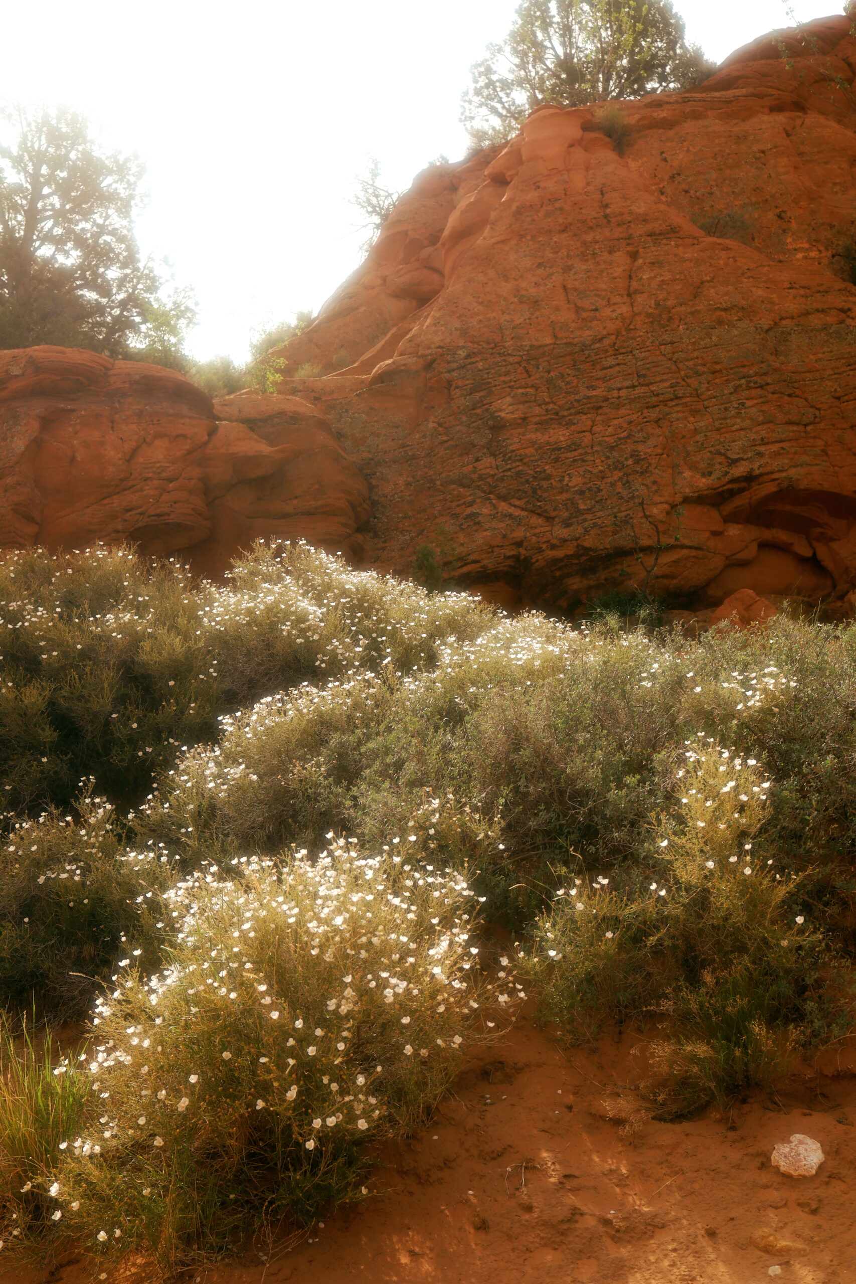
The Arizona Trail is 800 miles long from the Mexican border to the Utah border. The terrain is both challenging and rewarding; offering deserts, pine forests, and canyons. The diversity will surprise you in the best way.
When Should You Hike It:
Most hikers choose to attempt the AZT during either the Spring or Fall. If you decide to hike in the spring the most common direction is Northbound (NOBO). If you choose the fall, a Southbound (SOBO) hike is recommended. Keep in mind that most hikers tend to choose the Spring/NOBO option. If you’re looking for solitude, a Fall/SOBO hike might be preferable.
Getting to the Start:
NOBO
- The Tucson International Airport is the closest airport to the start.
- The AZTrail.org/explore/shuttles/ page lists out all the trail angels and shuttles available to get you to Montezuma Pass.
- I walked from the airport to a hotel where I spent the night and got a ride from a trail angel in the morning.
SOBO
- Fly to the Page Municipal Airport in Page, AZ.
- The AZTrail.org/explore/shuttles/ page lists out all the trail angels and shuttles available to get you to or closer to the Stateline Campground at the AZ/UT border.
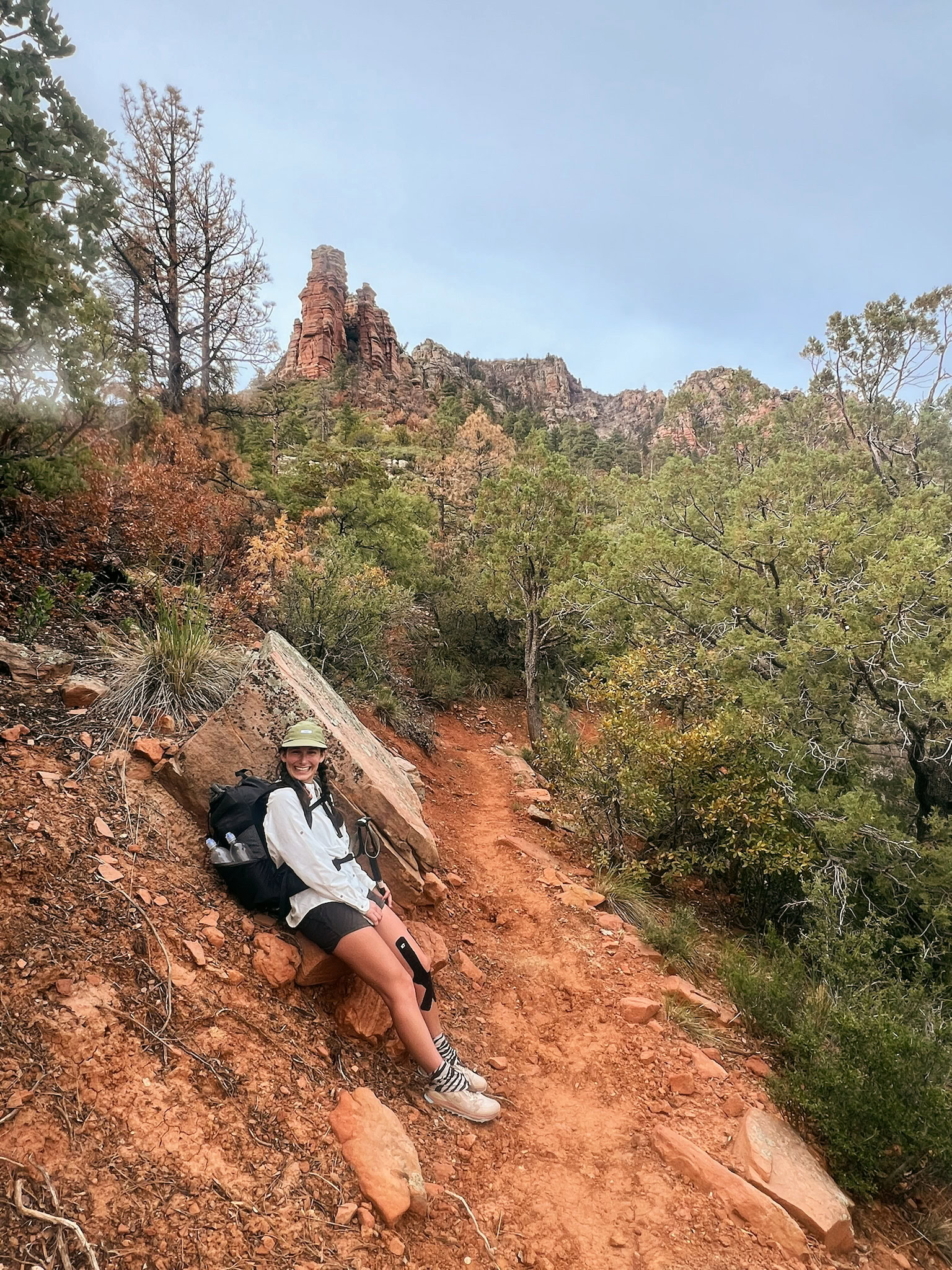
Since I have only hiked this trail as a NOBO Spring hike, these are my recommendations. A SOBO Fall hike will most likely bring cooler temperatures and new itinerary challenges due to the Dragon Bravo Fire. Do your research and be prepared for all weather types and closures.
Big 3
- Pack: ULA Nexus
- Pack Liner: Litesmith Nylofume
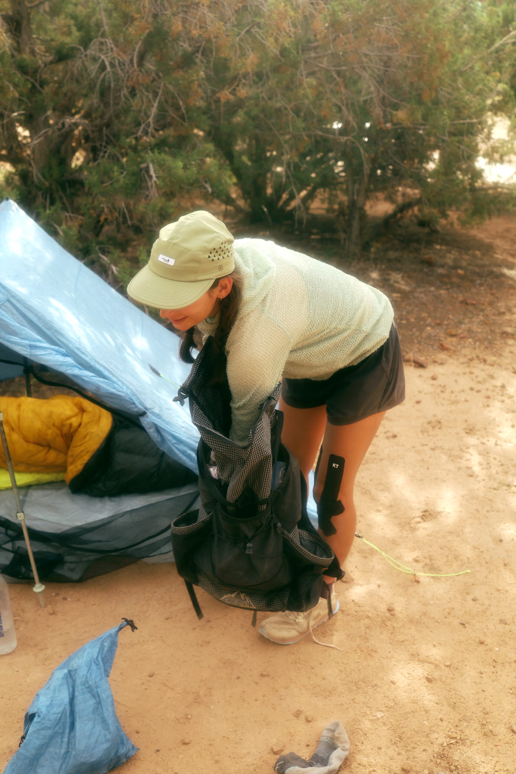
- Tent: ZPacks Duplex
- Ground Sheet: Tyvek Sheet (it’s spikey out there, protect your gear)
- Stakes: (6) Titanium Shepherd’s Hook Tent Stake by Vargo Outdoors stored in a small dyneema bag
- Quilt
- Sleeping Pad: Therm-a-Rest NeoAir XLite NXT Sleeping Pad – Short (many opt for a foam pad on this trail to avoid potential leaks due to the terrain)
- Pillow: Zpacks Medium Pillow
Clothing Worn
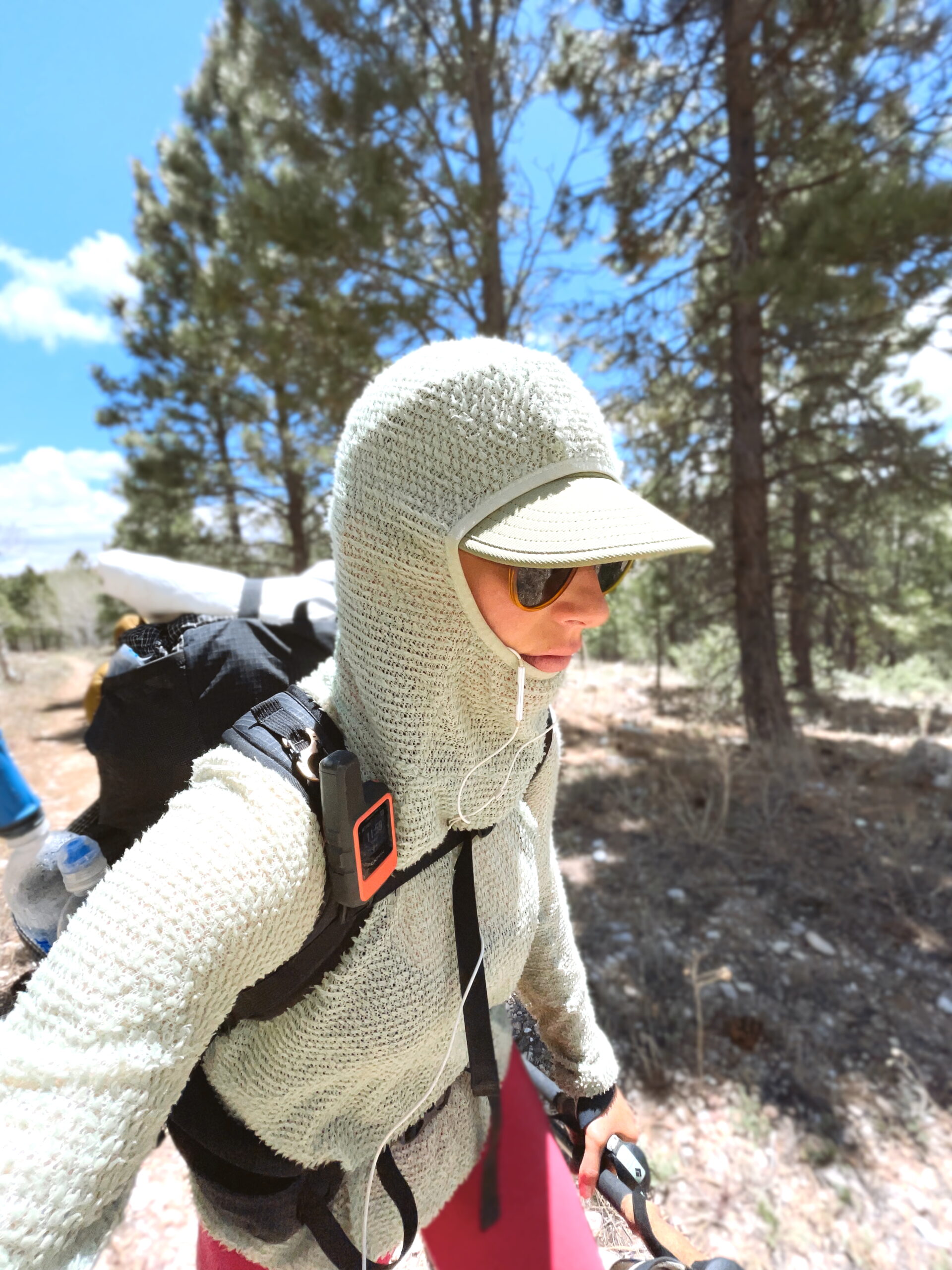
- Hat: Coal – The Provo UPF Tech 5-Panel Cap
- Shirt: Patagonia – Long-Sleeved Sol Patrol® Shirt
- Bra: Vuori – AllTheFeels™ Bra
- Shorts: Outdoor Voices – Relay 3″
- Socks: Darn Tough – Quarter Midweight Hiking Sock
- Gaiters: Dirty Girl Gaiters – (The trail is very sandy, I found gaiters 100% necessary) ● Shoes: Altra – Lone Peak 7
- Sunglasses: Sunski – Vallarta
- Pony Tail (2)
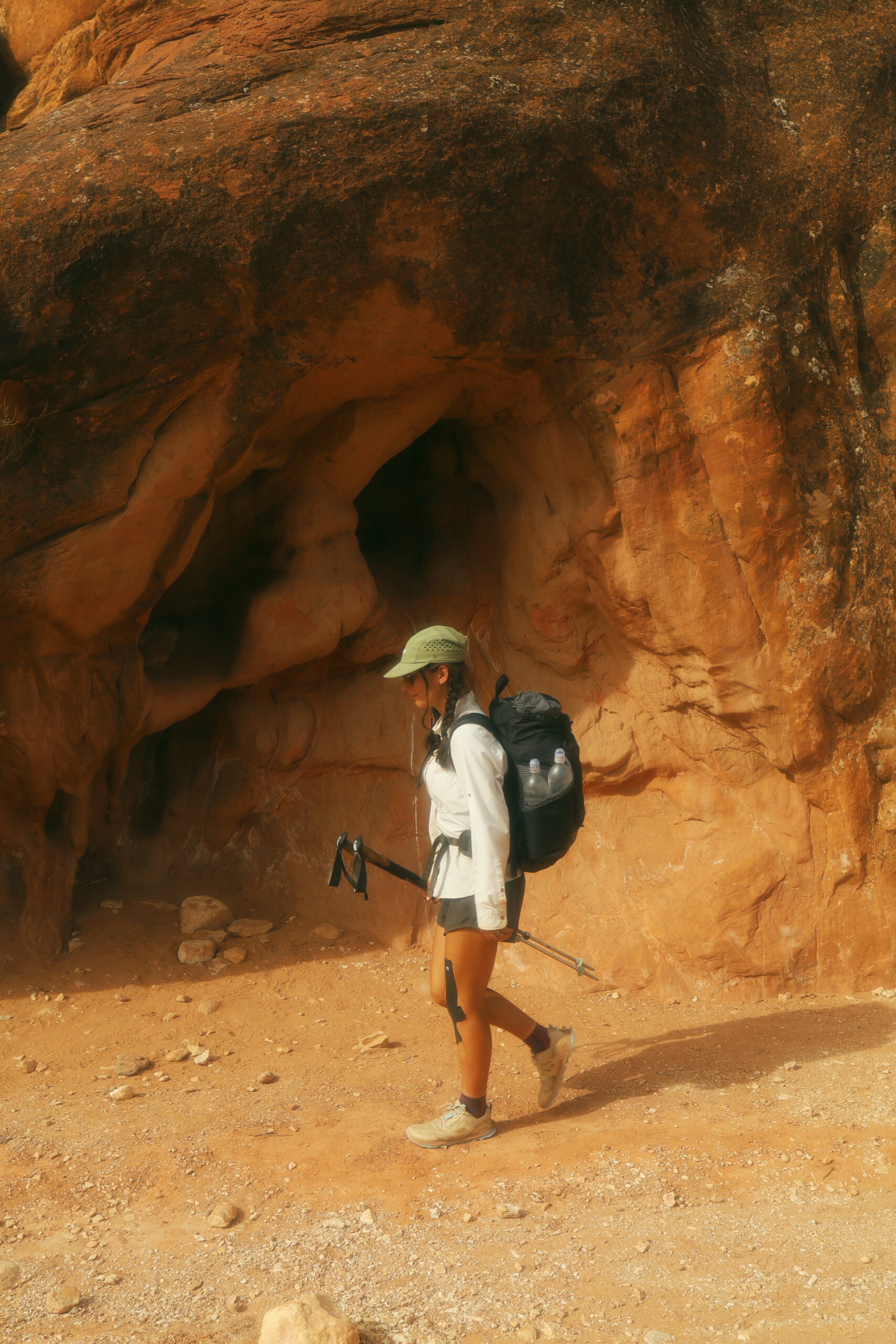
- Trekking Poles: Black Diamond – Trail Ergo Cork Trekking Poles – Women’s (don’t come for me, these are worn weight)
- Sun Umbrella: Zpacks – (Sent home due to the wind constantly throwing me around)
Clothing Packed
- Puffy: Arc’teryx – Cerium LT Down Hoody
- Socks: Second Pair of Darn Tough Quarter Midweight Hiking Socks
- Fleece: Senchi – Alpha 60 Hoodie
- Buff
- Thermal Leggings (picked up in Flagstaff)
Kit
- Trowel: The Deuce #2
- Hand Sanitizer
- Gear Patch
- Tooth Brush
- Tooth Paste
- KT Tape
- Mole Skin (after 3,000 miles of hiking, the AZT gave me my first blisters) ● Sunscreen
- Chapstick: Jack Black Intense Therapy Lip Balm SPF 25
- License / Insurance Cards / Cash
- Ziplock: To hold it all together
Electronics
- Headlamp: NU25 400 Lumen Rechargeable Headlamp by Nitecore (night hiking necessity)
- Brick: Anker USB C Charger
- Power Bank: Anker 20000 PD
- Power Cord: Apple Lightning Cord
- Power Cord: USBC
- Headphones: Apple Wired Headphones with Lightning Connector
- Garmin: Garmin inReach Mini 2
- Disposable Camera
Kitchen
- Talenti Jar
- Spoon: Sea to Summit Spoon (I found that the spork version started to tear my gear apart while I hiked)
- Water Bottles: (4) 1L Smart Water Bottles
- Water Filter: Platypus – QuickDraw Filter
- Water Treatment: Iodine Tabs
- Cnoc: 2L Vecto Water Container by CNOC Outdoors (ended up sending home)
Water:
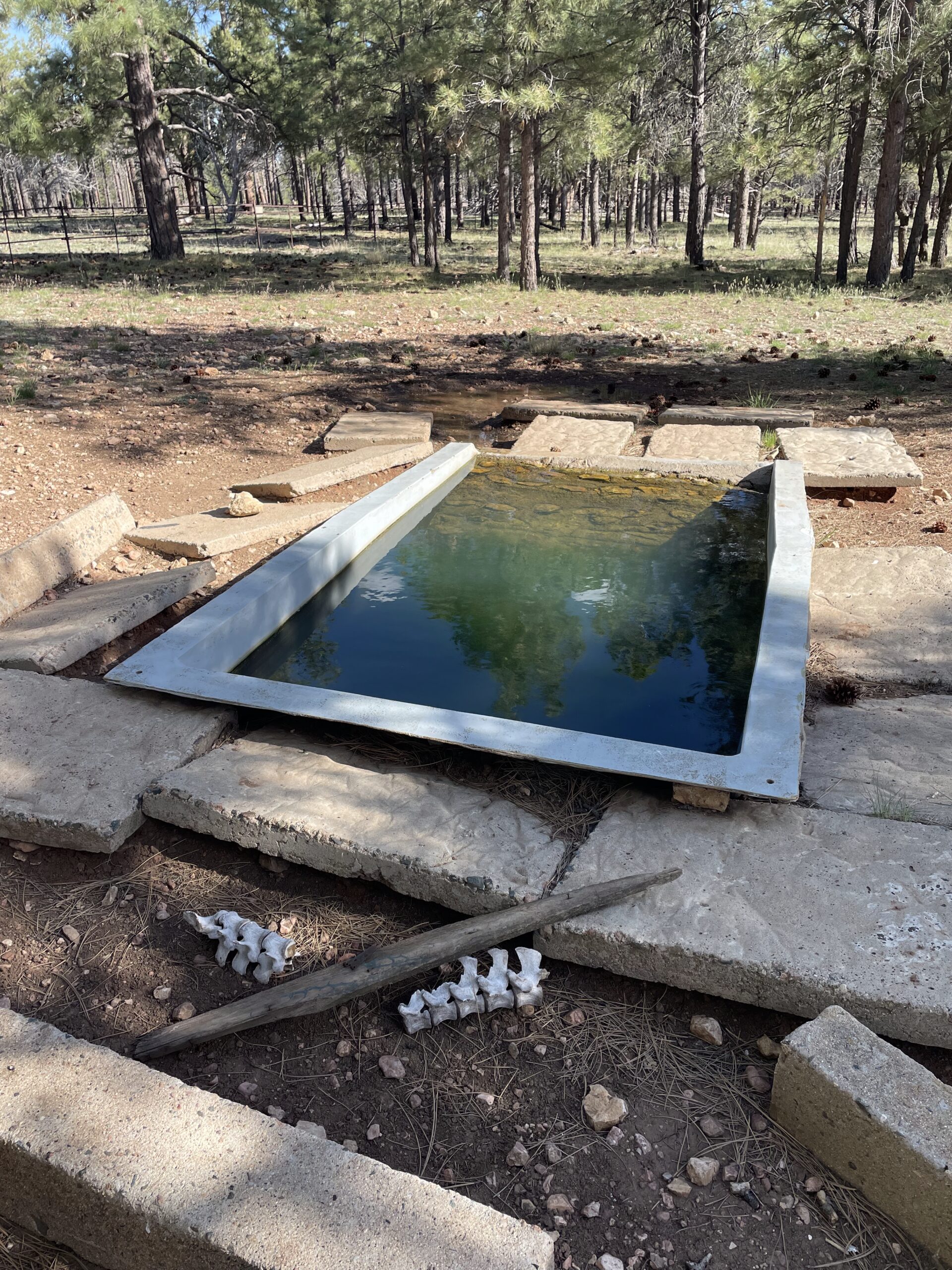
The AZT had some of the nastiest looking water sources I’ve ever seen (tip: if you meet a Hayduker, do NOT complain). Prepare for cow ponds, small pools, and even a bathtub. I knew the desert was cold at night, but I was surprised by the freezing temperatures. I ended up sleeping with my filter each night as a precaution. I was happy with 4L of water for a dry season. Keep in mind, everyone is different and you may want to pack a Cnoc for the additional 2L.
Carry both a filter and portable aqua or equivalent tabs. I double filtered on many occasions.
- Filter
- Portable Aqua, Aquamira, or Equivalent
Maps:
I used the FarOut Arizona Trail Guide and had Gaia as a backup. If you’ve never used FarOut before, it is a great resource that the majority of thru hikers use. FarOut lists out all water sources, waypoints, towns, and any other necessary information a hiker would need for navigation. The main reason I use the app is to make sure I’m on trail and to see the most recent water updates. The Arizona Trail website also has great information on water (https://aztrail.org/explore/water-sources/) and paper maps are always an option.
You do not need a permit to hike the AZT. You only need a permit in the following locations if you plan on camping in them:
Colossal Cave Mountain Park
- Camping Fee $10 per night in campgrounds (La Selvilla or El Bosquecito Camp) Check-in and pay at the Cave Shop before entering the camping area.
Saguaro National Park
- Camping is only allowed in developed campgrounds (Grass Shack and Manning Camp)
- Permits can be obtained at Recreation.gov
- Please check the website for the latest permit updates
https://www.nps.gov/sagu/planyourvisit/camping.htm
Grand Canyon National Park
- You are required to obtain a permit if you plan on camping in the canyon. Camping is only allowed at Bright Angel and Cottonwood.
- The Grand Canyon National Park has graciously set aside campsites for AZT thru hikers.
I was able to hitch to the Backcountry Office on the South Rim and secured a walk up permit for Cottonwood.
What is a resupply strategy and why should you make one?
A resupply for a thru hike requires determining realistic mileage goals for yourself, how much food you want to carry, and which towns you want to stop in. Since I planned my AZT thru hike as a solo trek, I wanted to minimize the amount of times I needed to hitch into town. I also made sure to pick towns that were close to the trail, and I didn’t want to carry more than 4 days of food if I could.
This is my comprehensive resupply strategy that I made for my NOBO thru hike. This list does not include every town, only the towns I intended to stop at. Please use this only as an initial guide to your planning and do your own research to best suit your hike. Make the plan that’s right for you.
Important Note:
Mile markers change year by year.
I hiked through the Grand Canyon before the Dragon Bravo Fire started.
Mile: 0 – 52.5
Town: Patagonia
Miles to next resupply: 66.3
Type: Resupply in Town
Access: Many options:
Hitch
Shuttle from Mary at TerraSol (520) 987-0770
Hike 4.7mi via Train Track Trail or Harshaw Creek Connector
Take local shuttle from Casa Blanca Trailhead Carrie 360-830-7195
Accomodation / Laundry / Grocery: Terra Sol (520-987-0770) – Tent & Van Camping has Showers & Loner Bikes. | Laundry at Tiny Bubbles (coin op) | Grocery at Red Mountain Foods 9-5pm. Patagonia Market 4am-8pm.
Mile: 52.5 – 118.8
Town: La Posta Quemada Ranch in Colossal Cave Mountain Park
Miles to next resupply: 65.3
Type: Resupply Package
Access: Hike 0.8mi
Accomodation / Laundry / Grocery: Campsites | Pick Up Resupply Box No fee for package holding. Make sure to write “Hold for AZT hiker” and your ETA on the box, and mail to: [Hiker’s Legal Name] c/o Colossal Cave Mountain Park
16721 E. Old Spanish Trail
Vail, AZ 85641| Hiker Box | $8 Prickly Pear Soft Serve Ice Cream 8am-4pm
Mile: 118.8 – 184.1
Town: Mount Lemmon
Miles to next resupply: 23.6
Type: Resupply in Town
Access: Hike 0 mi
Accomodation / Laundry / Grocery: Post Office Sleeps 3 | Market 10am-6pm, Hiker Box at General Store | Hikers like food at Beyond Bread
Mile: 184.1 – 207.7
Town: Oracle
Miles to next resupply: 57.2
Type: Resupply in Town
Access: Can Try to Hitch at 200.7 | Otherwise, Hitch | Anne (520) 444-3315 Accommodation / Laundry / Grocery: Peppersauce Campground | Laundromat Located Next to Dollar Store Has Outlets
Mile: 207.7 – 264.9
Town: Kearny
Miles to next resupply: 37.3
Type: Resupply in Town
Access: Hitch | Shuttle w Que (928) 245-0784
Accomodation / Laundry / Grocery: General Kearny Inn $80 Hiker Rate Close To Town | Laundry at Accommodation | Dollar Tree, Hiker Box, They Also Receive Packages Sounds Like Packages Get Sent to USPS on Accident
Mile: 264.9 – 302.2
Town: Superior
Miles to next resupply: 41.5
Type: Resupply in Town
Access: Hitch
Accomodation / Laundry / Grocery: Most Restaurants in Town Closed Mon/Tue | Hiker Box at Copper Mountain Motel | Save Mart & Family Dollar
Mile: 302.2 – 343.7
Town: Roosevelt Lake
Miles to next resupply: 43.2
Type: Resupply Package
Access: 0.2mi Hike
Accomodation / Laundry / Grocery: “Mail to Roosevelt Marina, which has a pickup fee of $10. Make sure to write “Hold for AZT Hiker” and your ETA on the box [Hiker’s Name] c/o Roosevelt Lake Marina
28085 N. Hwy. 188
Roosevelt, AZ 85545 phone number (602) 977-7170″
Mile: 343.7 – 386.9
Town: Payson
Miles to next resupply: 71.6
Type: Resupply in Town
Access: Hitch
Accomodation / Laundry / Grocery:
Mile: 386.9 – 458.5
Town: Pine
Miles to next resupply: 109.4 (+4.1 mi to Taco Bell via Flagstaff Urban Trail/Route) Type: Resupply in Town
Access: 1mi Hike
Accomodation / Laundry / Grocery: Beeline Guest House | Pine Laundry Wed 12pm-7pm, Thur-Sat 7am-8pm, Sun-Tue 8am-7pm | Ponderosa Market
Mile: 458.5 to 567.9
Town: Flagstaff Urban Trail/Route
Miles to next resupply: 109.4
Type: Resupply in Town
Access: 4.1 mi Hike via Flagstaff Urban Trail/Route to Taco Bell
Accomodation / Laundry / Grocery: Hotel with Laundry | REI, Whole Foods, Safeway | Babbitt’s Backcountry Outfitters and Peace Surplus have hiker boxes
Note: This route bypasses the AZT and takes an urban trail through the town of Flagstaff. Leaving Flagstaff, hike 10.9 miles via Flagstaff Urban Trail/Route to rejoin AZT at mile marker 598.9
Mile: 598.9 – 697.4
Town: Grand Canyon Village (Mather Campground)
Miles to next resupply: 100.1
Type: Resupply in Town
Access: 0 mi Hike / Free Shuttles
Accomodation / Laundry / Grocery: Mather Campground | Grand Canyon General Store
Note: I recommend stopping at the Jacob Lake Inn to grab some of their world famous cookies to take to the finish line. The Cookie In A Cloud was a hiker favorite!
Mile: 769.7
Mile: 697.4 – 797.5
Town: Page, Utah
Miles to next resupply: ZERO
Type: Finish Line!
Access: 0 mi Hike
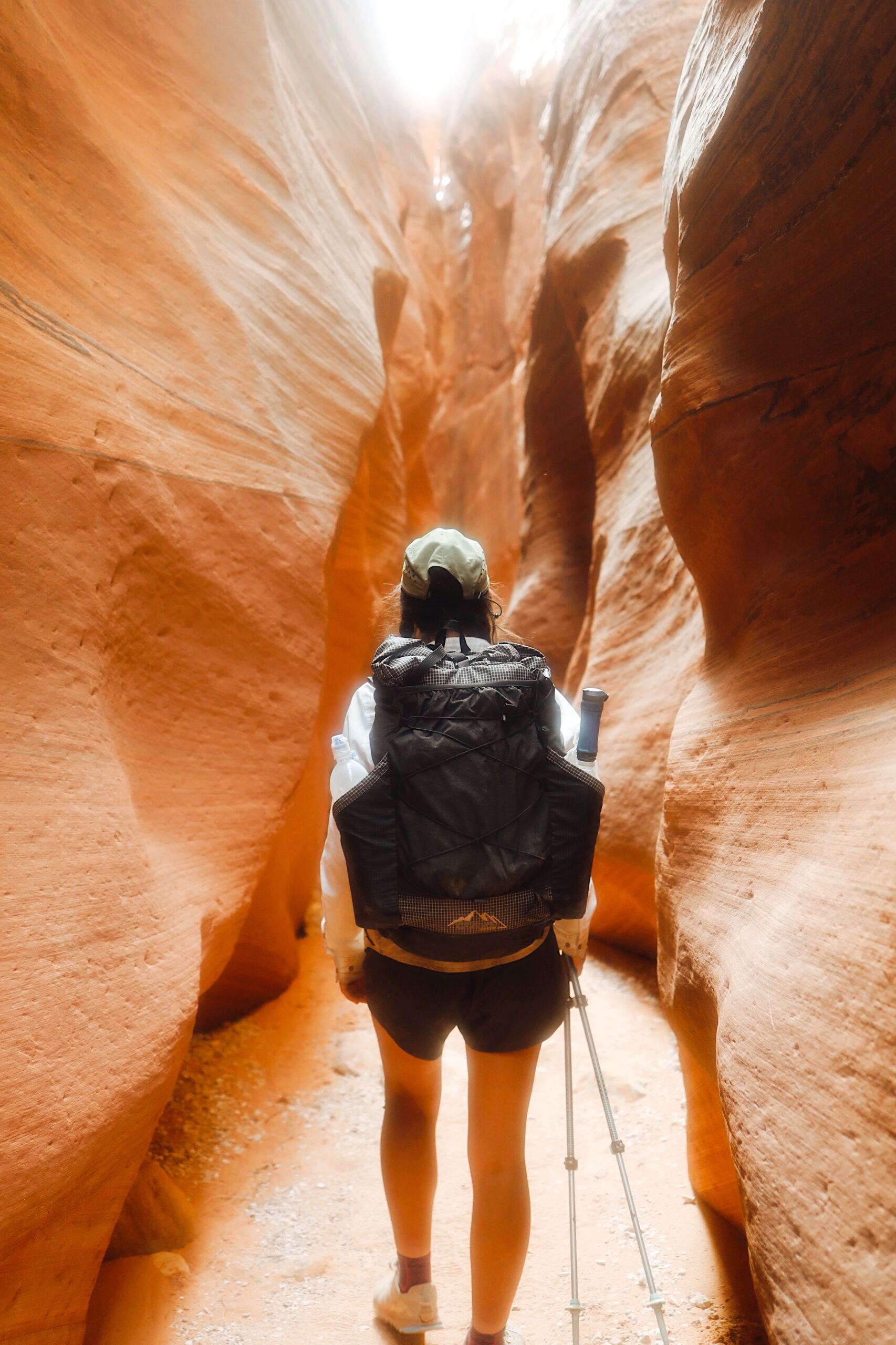
Accomodation / Laundry / Grocery: Stateline Campground offers first come first serve camping. Recommend hiking or hitching to The Wire Trail for some epic slot canyon hiking before heading home.


0 Comments